Apostle Islands/Lake Superior Picture Thread
- Thread starter PrincessoftheLake
- Start date
- Status
- Not open for further replies.
Not a picture, but a great resource. Weather buoy and station data for Superior and Michigan
http://www.eldoradocountyweather.com/buoy/Western Great Lakes/buoy-xhtml.php
http://www.eldoradocountyweather.com/buoy/Western Great Lakes/buoy-xhtml.php


Every day, NOAA takes 3 hi-res pictures of each of the great lakes from space. They put them here. Each pixel on the images is about 250 meters square.Wow, that is awesome JD!
http://coastwatch.glerl.noaa.gov/modis/modis.cgi/modis?region=s&page=1
Last weekend we raced in the AIS Spring Series. We were First To Finish in the first race, and had some wind issues in the last two. ;^) But even them sometimes we found it, here we are heading for home at 9 knots. Anyone know where?
Youtube Link
Youtube Link
R4? Heading NNE, Oak Island in the background?Fetching the mark! Can anyone identify the turning point?
Perfect sail!
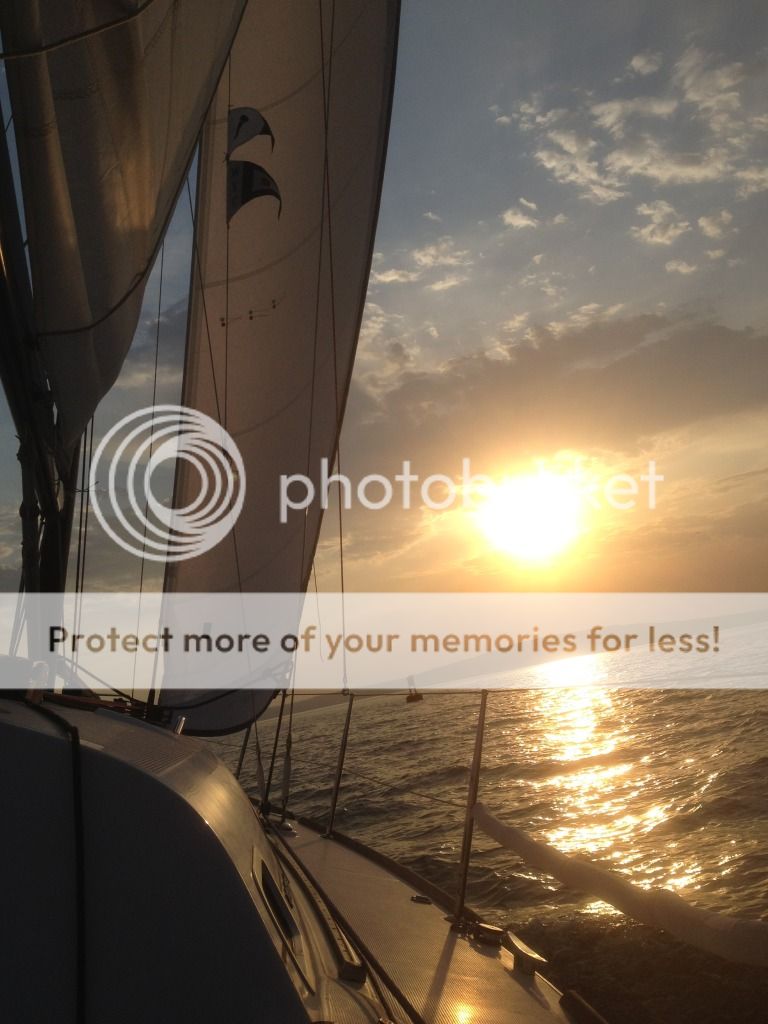
Just north of Basswood heading SW into the West Channel?Last weekend we raced in the AIS Spring Series. We were First To Finish in the first race, and had some wind issues in the last two. ;^) But even them sometimes we found it, here we are heading for home at 9 knots. Anyone know where?
Youtube Link
Please don't mention R4; we sat there in a hole in the wind for a hour on Sunday. The Basswood Troll strikes again.R4? Heading NNE, Oak Island in the background?
Hint Dan, its a sunset, and we're heading for home.
Winner. Exactly.Just north of Basswood heading SW into the West Channel?
That's Hermit at the start of the vid, and Basswood at the very end. The North Channel Express.
You guys were flying! Betcha wish you had more of that video.Winner. Exactly.
That's Hermit at the start of the vid, and Basswood at the very end. The North Channel Express.
Yeah, I forgot to look at the sun. I guess you would never see the sun setting over Oak if you were heading north. Must be Grants Point bouy?Please don't mention R4; we sat there in a hole in the wind for a hour on Sunday. The Basswood Troll strikes again.
Hint Dan, its a sunset, and we're heading for home.
Say, I've been thinking of doing the Around the Islands race (I saw you were already signed up) if I can find some crew willing and able. We've raced in the Race Week cruising class in the past but we've never done the Around the Islands. I was toying with soloing the race if I couldn't find crew.
Yes... Our friend Steve charters a lot and has got us several times. Sadly each vid is exactly 15 seconds. Must be a 'feature' of his phone. But yes that would have been a fun one to have more of.You guys were flying! Betcha wish you had more of that video.
Re BFRW ATI, I'd have a go solo for sure if you cannot find crew. Downside is the NOR does not recognize a solo class, so you'd have to leave Otto von Helm in the OFF position. That might be busy.And Long. On the other hand if you are looking for a ride.....
CB
You'll probably know this one in a second, but it's one of my alltime favorite Apostles pics.. need just the right conditions to get in there for the picture, and when I draft 5.5', it's dicey! Know where?
Attachments
-
 41.5 KB Views: 236
We pulled 2nd place in the Racing class (I think it was '06 or '07), and even finished before last call at the Rum Line.. you get so dopey at the end of a long race like that in the dark, we almost ran it up onto Long Island (favorite quote: "hey, I can smell pine trees..")
Looks like the Rock at the top of Hermit. We leave that to port all the time in the AIS mid-distance races. You're right, you gotta know how close you can get. Looks like you are BEHIND it, which is a no-fly zone for Kestrel!You'll probably know this one in a second, but it's one of my alltime favorite Apostles pics.. need just the right conditions to get in there for the picture, and when I draft 5.5', it's dicey! Know where?
- Status
- Not open for further replies.