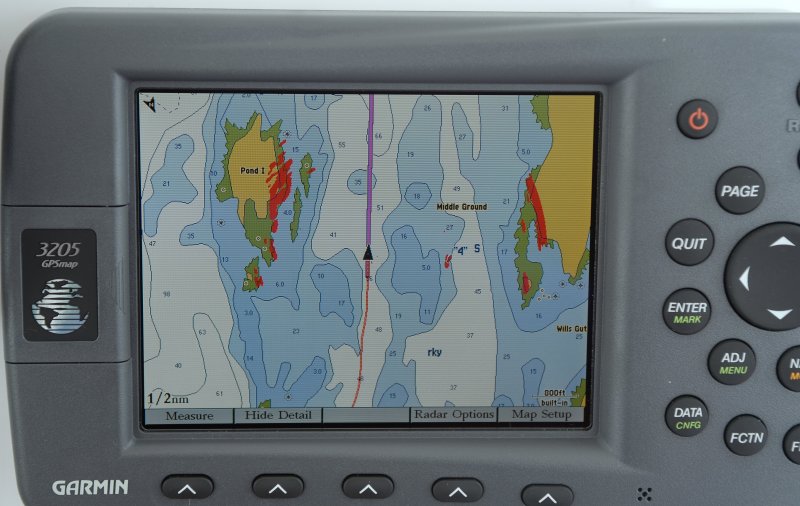
Over the years, been using chart plotters since 1997, I have come across many errors and omitted pieces of data from the NOAA cartography. This is why I still carry paper and do my best to mix that and my plotters information with "local knowledge". When cruising my home waters paper only really comes out in thick fog, so I can write on it, but it is still always on-board.
We also suffered a lightning strike last year which took out four devices not plugged into ANYTHING. Essentially all electronic gear on-board, including my laptop, and disconnected back up GPS devices, were fried.
This is but one example of a Garmin error, though they all have them and this is not meant to pick on Garmin....
0.2 nm Scale:
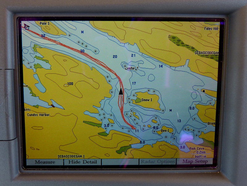
0.3 nm Scale - Hey Where Did The Land Go??:
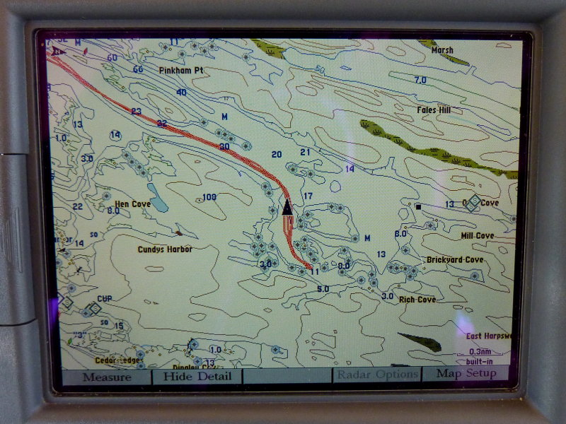
0.5 nm Scale - Land, Land, Bueller, Bueller.........:
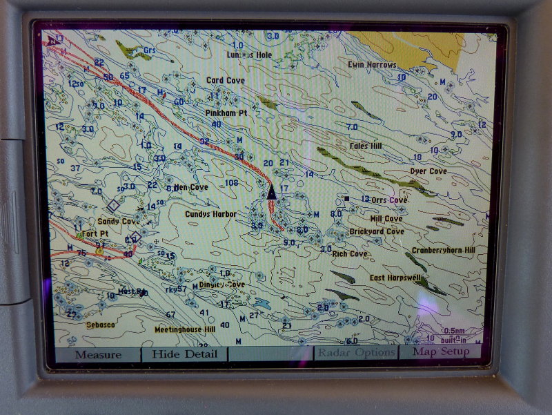
0.8 nm Scale - Oh there you are land..........
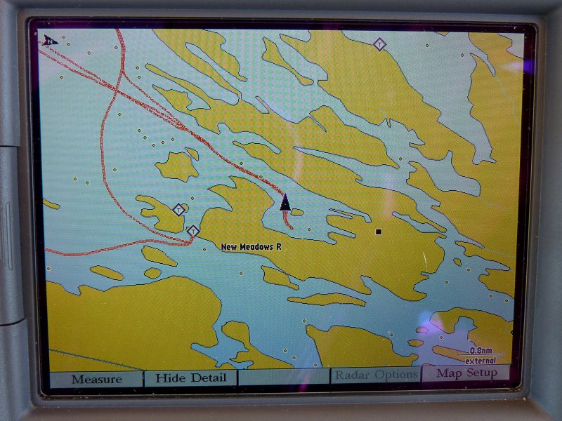
Check out the 108 foot deep spot on the 0.3 & 0.4 nm scales.... Oh yeah that's a hill not a harbor.....
I find it amusing when people pay such homage to a particular brand like they are infallible or something. None of them are and they ALL make mistakes. My NOAA charts have never lost the islands or land on me.. I love my Gamin stuff but like most brands it is not perfect...
We also suffered a lightning strike last year which took out four devices not plugged into ANYTHING. Essentially all electronic gear on-board, including my laptop, and disconnected back up GPS devices, were fried.
This is but one example of a Garmin error, though they all have them and this is not meant to pick on Garmin....
0.2 nm Scale:
0.3 nm Scale - Hey Where Did The Land Go??:
0.5 nm Scale - Land, Land, Bueller, Bueller.........:
0.8 nm Scale - Oh there you are land..........
Check out the 108 foot deep spot on the 0.3 & 0.4 nm scales.... Oh yeah that's a hill not a harbor.....
I find it amusing when people pay such homage to a particular brand like they are infallible or something. None of them are and they ALL make mistakes. My NOAA charts have never lost the islands or land on me..
I love my Gamin stuff but like most brands it is not perfect...