I post info here that is for use as you will, but I do try to be ahead of the "filtered" new cycle.
The official forecast says 75% above normal season.
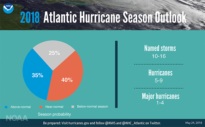
I read it differently. How about 65% chance of below normal?
I quit predicting "named storm" count. Wow, how brave of NOAA ... 10-16?
I could predict 10-20.
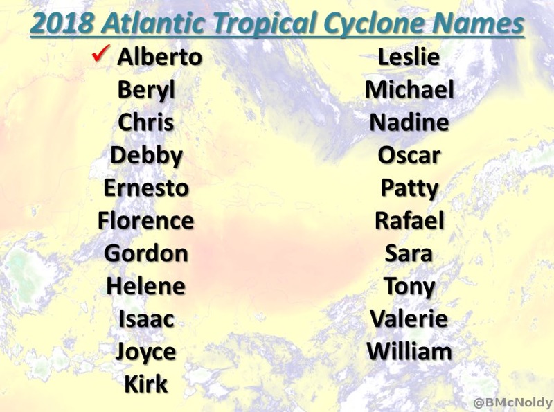
Speaking of Names...
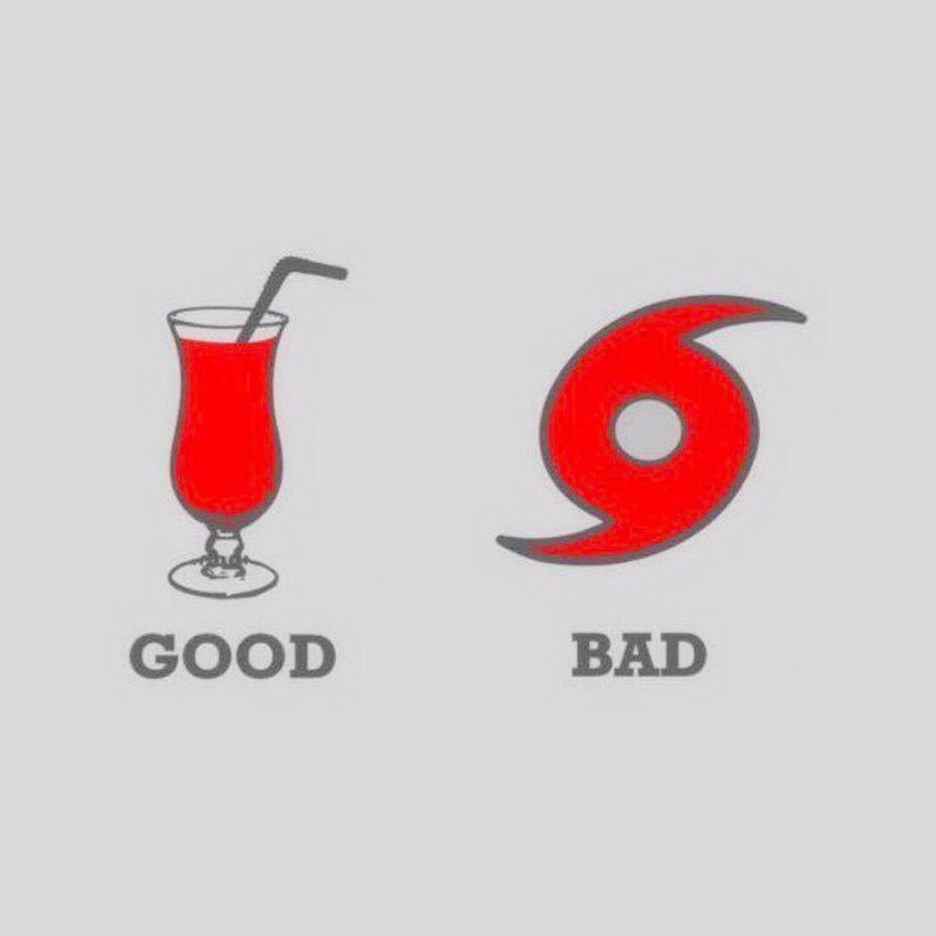
If you have been to New Orleans, they make a drink called "hurricane"
So pick your type...
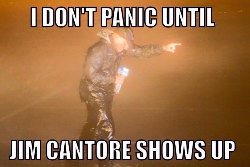
If you really want to know where Hurricanes will hit, follow the WeatherChannel guy
______
The uncertainty and doubt by Models and Forecasters is from the Pacific Effects.
La Niña is officially Done.
The starting of El Niño is in doubt and almost looking for it After 2018 season.
[El Niño disrupts and weakens Atlantic Hurricanes.]
The last main predictor is Accumulated Cyclone Energy [ACE]. Right now it is slightly lower that 2017. Good News!
What is a bit different, IMHO, is the birth places of Atlantic Storms.
1) West Africa
2) Caribbean
3) Eastern Pacific South of Mexico [Alberto]
Number 3 is rare, but crossing the Isthmus into the very warm SW Caribbean.
This looks to be a place to watch in 2018.
______
Time to get prepared is NOW and not 3 days before a strike.
Jim...
The official forecast says 75% above normal season.
I read it differently. How about 65% chance of below normal?
I quit predicting "named storm" count. Wow, how brave of NOAA ... 10-16?
I could predict 10-20.
Speaking of Names...
If you have been to New Orleans, they make a drink called "hurricane"
So pick your type...
If you really want to know where Hurricanes will hit, follow the WeatherChannel guy
______
The uncertainty and doubt by Models and Forecasters is from the Pacific Effects.
La Niña is officially Done.
The starting of El Niño is in doubt and almost looking for it After 2018 season.
[El Niño disrupts and weakens Atlantic Hurricanes.]
The last main predictor is Accumulated Cyclone Energy [ACE]. Right now it is slightly lower that 2017. Good News!
What is a bit different, IMHO, is the birth places of Atlantic Storms.
1) West Africa
2) Caribbean
3) Eastern Pacific South of Mexico [Alberto]
Number 3 is rare, but crossing the Isthmus into the very warm SW Caribbean.
This looks to be a place to watch in 2018.
______
Time to get prepared is NOW and not 3 days before a strike.
Jim...