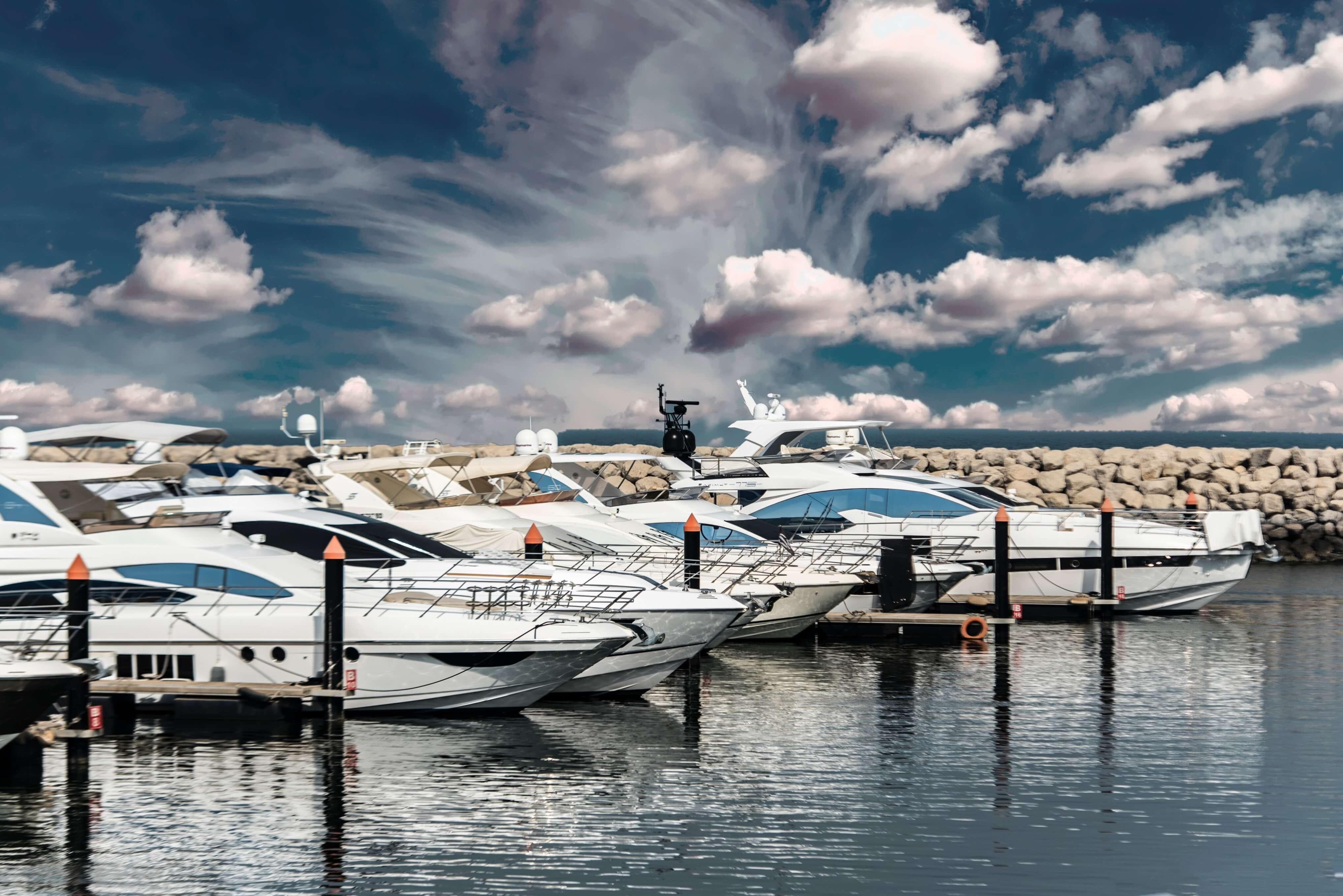
Anyone knows about this place in St. Marys, GA? How deep is that St. Marys river, any overhead bridges to go under? Any info that can help. Are they reputable, dependable, ect?
Thx
C
Thx
C
Aquamaps has several very good features, especially for traveling on the ICW and crossing to the Bahamas. With the paid version, you can get the latest Corp of Engineers channel soundings so you know where the shoals are. Navionics and C-Map do not provide daily updates. Also, you can get hourly wind, current, and wave height data. All you need is a cell connection.In addition to what @dlochner recommended, you can also download Navonics to your phone. It shows water depth and bridge heights. Active Captain used to be great but since Garmin purchased it, it is now just sort of okay.

ThnxAquamaps has several very good features, especially for traveling on the ICW and crossing to the Bahamas. With the paid version, you can get the latest Corp of Engineers channel soundings so you know where the shoals are. Navionics and C-Map do not provide daily updates. Also, you can get hourly wind, current, and wave height data. All you need is a cell connection.

Well, regarding "shouldn't have no problems" as you said... This place doesn't return calls, emails, smoke signals, glairs in the sky, ect.You should have no problem with St. Mary's GA. They were devastated by one of the hurricanes a few years back but I believe the public marina is back in service. There is a fueling dock there if you need it. It is a really small quant town and a nice place to stop. The Submarine Base is north of St. Mary's and if they tell you to clear the area , do so. Do not approach the submarine base closely and you will be fine but if you are just visiting St.Mary's you won't be going close to there anyway. If you are close and have the time you need to visit Cumberland Island. There are wild horses and the ruins of a mansion. It is worth the visit.
