All these years in my P23 I have had a little Garmin in the hatchboard,nothing more sophisticated than that. I try to follw along on your chartplotter, electonics conversations but am soon left in your wake. The boat i just purchased has a Lowrace Elite unit i meed to learn. After watching you tubes i felt i was still in tall grass,hired a guy who does tutorials, remote and live. Yiu shoukd have seen me a few days ago, sun blazing in over my shoulder,cant see the screen or my phone screen. Threw the canvas coocpit cover over my head and the dashboard,looke like an old time photagrapher. Good lessons but apparently i need to purchase a card for the machine. The tutor is recomending CMaps with Navionics as an alternative.Which is more user friendly and please dont bombard me with technical questions, im.just barely past just turning it on..
C Map or Navionics
- Thread starter DAVA390
- Start date
Simple answer. They are about the same.
Both have more functions and options than you will ever use.
I think you will basically choose by price.
I have CMap, because of the price.
gary
Both have more functions and options than you will ever use.
I think you will basically choose by price.
I have CMap, because of the price.
gary
jssailem
SBO Weather and Forecasting Forum Jim & John
- Oct 22, 2014
- 24,454
I’m thinking this is the same @DAVA390 that recently retired. We met In Annapolis at the boat show. Had Breakfast.
The Lorance Elite comes in several sizes and configuration. Just like concrete. It is branded as a fish finder with charting available.
C-map and Navionics both work on the Lorance Elite FS model. Here is the Lorance link. https://www.lowrance.com/lowrance/type/mapping/
Navionics provides a way to use on both you phone, tablet as well as the chart plotter.
C-map is a part of Lorance and provides a higher level of functionality designed for fishing.
I would lean towards the Navionics. Both will work on the Lorance Elite FS model according to the manufacturer.
They both have web viewers of their charts if you want to get a feel for how they would look in your area.
CMAP Viewer is:
 letsembark.io
Navionics viewer is:

I use CMAP on a B&G plotter. It's fine.
CMAP Viewer is:
C-MAP: Nautical charts
C-Map offers the most personal, stress-free, end to end marine experience by providing high-quality nautical maps along with navigation, traffic and weather information to easily plan trips on the water and enjoyable experience with peace of mind.
Navionics viewer is:
I use CMAP on a B&G plotter. It's fine.
Navico is the parent company of C-Map, B&G, Simrad, and Lowrance. The devices are more or less the same across product lines, each geared to a separate market, B&G for Sailors, Simrad for power boats and cruisers, and Lowrance for fishing.
Navionics bought C-Map from Jeppsen a few years ago. Jeppsen was/is a major mapping firm that specialized in Aeronautical charts.
Navionics and C-Map use the same data, except for the crowd sourcing. The features are pretty much the same.
I have both Navionics and C-Map and tend to use the C-Map charts on my chartplotter. Navico has been investing in C-Map and this year have simplified their chart selection. They have also integrated a free web based charting app, and a free tablet/phone app with a subscription option to allow charts to be downloaded. I have a B&G Zeus2 CP and the three features play nice together. I can plot courses and waypoints on the 27" computer screen and they are downloaded to the iPad and the Zeus automatically. The Zeus needs to be connected to the internet via wifi or a hard wire connection.
Navionics is more mature than C-Map, in that it has been around longer so there are more people who are familiar with it, and subsequently more people will recommend it. My preference with electronics is to stay within one system, whether it is on the boat or home because staying within one ecosystem reduces the chance of something not working and you get better tech support, no one ever says "its not our problem, it the other guy's problem, call him up."
letsembark.io
Navionics bought C-Map from Jeppsen a few years ago. Jeppsen was/is a major mapping firm that specialized in Aeronautical charts.
Navionics and C-Map use the same data, except for the crowd sourcing. The features are pretty much the same.
I have both Navionics and C-Map and tend to use the C-Map charts on my chartplotter. Navico has been investing in C-Map and this year have simplified their chart selection. They have also integrated a free web based charting app, and a free tablet/phone app with a subscription option to allow charts to be downloaded. I have a B&G Zeus2 CP and the three features play nice together. I can plot courses and waypoints on the 27" computer screen and they are downloaded to the iPad and the Zeus automatically. The Zeus needs to be connected to the internet via wifi or a hard wire connection.
Navionics is more mature than C-Map, in that it has been around longer so there are more people who are familiar with it, and subsequently more people will recommend it. My preference with electronics is to stay within one system, whether it is on the boat or home because staying within one ecosystem reduces the chance of something not working and you get better tech support, no one ever says "its not our problem, it the other guy's problem, call him up."
C-MAP: Nautical charts
C-Map offers the most personal, stress-free, end to end marine experience by providing high-quality nautical maps along with navigation, traffic and weather information to easily plan trips on the water and enjoyable experience with peace of mind.
I don't know if the web viewer David linked of the CMAP is representative of their actual product, but holy smokes does it lack the detail in Barnegat Bay and all of the NJ inlets along the coast that Navionics provides. I had CMap on my B&G CP for just one season before selling the boat. I thought it was fine, but now that I think about it, I'm pretty sure that I referenced the Navionics that was on my phone when I wanted detail. We have a lot of shallow areas, where it can be very sketchy to enter. Navionics seemed to distinguish the bottom contours in far more detail and with great accuracy and Navionics is what I relied upon the most, I think. Aside from that, Active Captain was embedded in Navionics and not in CMap (correct me if I'm wrong) so it was also my preference for that reason. I intended to load Navionics on my B&G CP but sold the boat before doing it. I loved the B&G CP and would buy another, but I think I would load Navionics, especially after comparing this web viewer side by side. ")
BTW, I currently have a Garmin CP and I still reference Navionics on my phone when I want more detail. I'd say that I'm pretty strongly in the Navionics camp. Looking at these browsers is really a stark comparison. If I was relying upon CMap, I would be scared to death to access so many of the places that I regularly sail and anchor in Barnegat Bay. Navionics shows in all of it's detail why I can go where I go. Perhaps that is a double-edged sword that can give a false sense of comfort, but CMAP is showing 1' - 3' depths in places I regularly anchor in about 5' to 6' of water, namely Tices Shoal & Conklin Island. I wonder if this is a consistent representation. CMap does not represent the same level of detail in small areas to avoid, instead seeming to leave ambiguity in larger areas surrounding the trouble spots. This would not be helpful to me. I wonder if it represents the Chesapeake in the same way.
Last edited:
Correct John, I am Dave from lunch.I’m thinking this is the same @DAVA390 that recently retired. We met In Annapolis at the boat show. Had Breakfast.
The Lorance Elite comes in several sizes and configuration. Just like concrete. It is branded as a fish finder with charting available.
C-map and Navionics both work on the Lorance Elite FS model. Here is the Lorance link. Digital Nautical Charts & Cartography | Mapping | Lowrance
Navionics provides a way to use on both you phone, tablet as well as the chart plotter.
C-map is a part of Lorance and provides a higher level of functionality designed for fishing.
I would lean towards the Navionics. Both will work on the Lorance Elite FS model according to the manufacturer.
That's correct Garmin bought Active Captain and Navionics charts. Haven't heard much about AC since the purchase.I like Navionics myself , i thought Garmin had bought it a couple of years ago and integrates it with Active Captain info.
I'm another fan of Navionics. As did/does @Scott T-Bird I find the community edits very helpful when traveling tricky parts of the bay and the channel out to the inlet. A couple of years ago the south channel to the inlet, which had been closed, was dredged and reopened. My Garmin chart plotter still had the details of the old channel so I switched to Navionics on my phone and had the latest detail needed. I chalk this up to so many boaters, probably power boaters, constant adding to the community edits.
I like that my Navionics account synchs across all of my devices. I can use my phone to synch the Navionics on my Raymarine CP too. Granted it is a little trickier to do so.
I never played with C-Maps, mainly because I've never had a reason to look for something better than Navionics. I have played with other navigation apps on my iPad and always come back to the Navionics app.
When I crewed for Scott last year bringing down his C320 from Buzzards Bay through NYC into the Barnegat Bay, I found the routing, currents and tide info for daily route planning right in synch with the charts, guide and Garmin CP Scott used for planning the day.
Thanks to all of you guys for the reply. It seems Navionocs the clear winner.I will look into that. For those curious, I ended up with a 21 Ft., Carolina Skiff walkaround, 200 Yamaha 2 stroke. Still have my Precision 23,
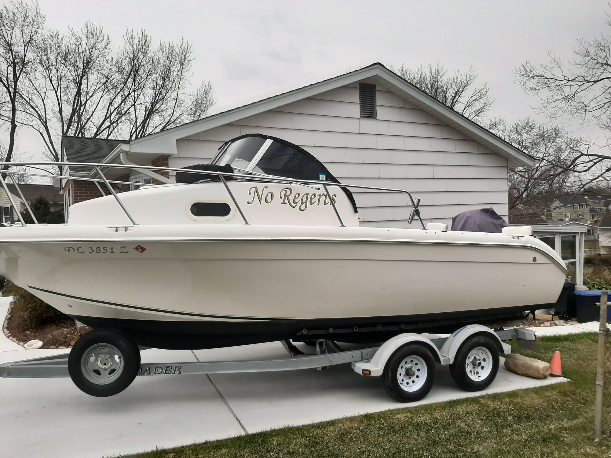 23, not in a hurry to sell it. I spent the winter pretty bored, got plenty to keep me busy now! Eaven treated the wife and myself to VIP tickets to upcoming combined boat show, will have my feet ( and wallet) in both worlds that day!