WOW...There sure are a lot of Nav Aids laid waste. Structure/Destroyed warnings. I was interested in learning what is it like here in the Pacific NW waters. We have far fewer issues with our NavAids.
For all you PacificNW sailors who use the Ditch to transit north to Anacortes, I learned that an important marker #5 (the Green Nun) at the south end of the Swinomish Channel (referred to locally as "The Ditch") is adrift.
That is not good as it marks the opening to the north side of the channel on the south end. TheNavAid is positioned to warn boaters of a shoal area near the channel opening.
Thanks for reminding me about the Notice to Mariners report .
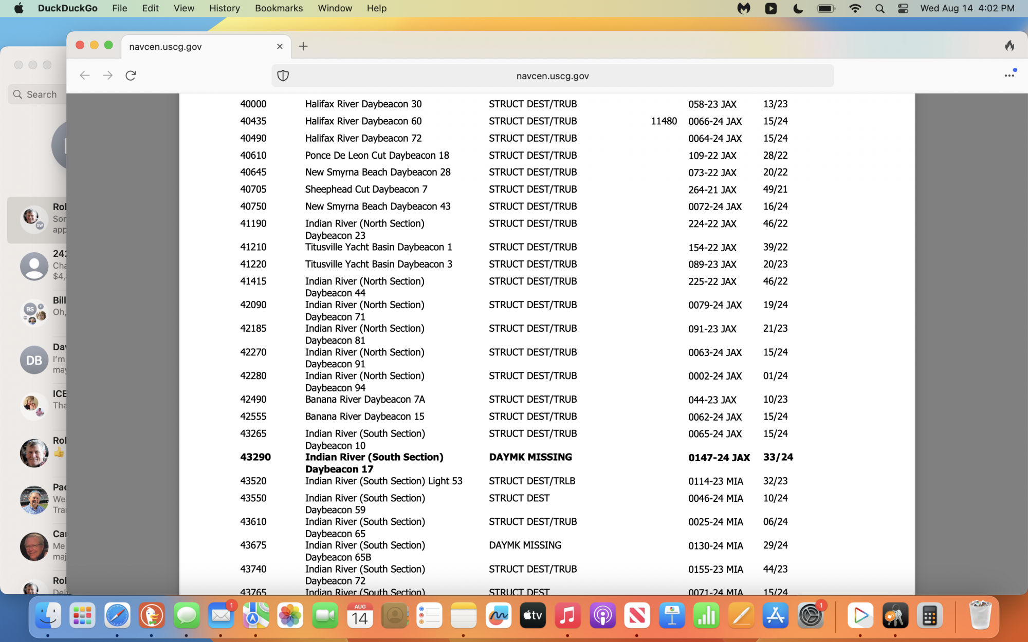 page I have a screenshot of caught my attention. The aids to navigation there are taking a beating ... Was it a storms or do we have some really bad drivers using the waterway?
