USCG Shallow Water Survey

Jan 11, 2014
13,256
Sabre 362 113 Fair Haven, NY
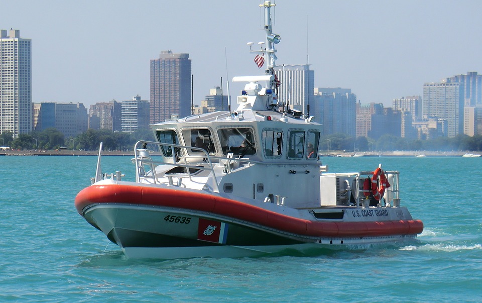
The USCG is conducting a survey of boaters who operate in shallow waters and how they use aids to navigation. There is more information in the linked article with a link to the survey in the article.

 
  • Helpful
Likes: rgranger

JamesG161

SBO Weather and Forecasting Forum Jim & John
Feb 14, 2014
7,904
Hunter 430 Waveland, MS
I did the survey. Took about 10 minutes.
My concern was updating the depth charts. The Army Corps of Engineers has, for Hurricane protection, changed many things in last 2 years.
Also to mark the extent of underwater sand "spits" that grow with time.
Jim...
 
Jul 7, 2004
8,497
Hunter 30T Cheney, KS
I use to use the "braille" method with my old MacGregor 26S. Centerboard would kick up if I hit mud. I had a quick-release on the rudder.
I was just recently sharing a topographical map of our cove for a potential new member who wanted to lease a mooring ball. The boat he was looking at had too much draft.

NSA topo.jpg
 
May 24, 2004
7,195
CC 30 South Florida
We have places where the sand drifts change quite frequently altering entry into some of our spots. We make do with local boaters moving around PVC home made markers. Would not expect the USCG to keep track of these.
 

jssailem

SBO Weather and Forecasting Forum Jim & John
Oct 22, 2014
23,594
CAL 35 Cruiser #21 moored EVERETT WA
I did the survey. We have the Ditch which is a navigable channel providing a short cut between Skagit Bay and Anacortes. It is in a continuous state of shoaling.

It is a man made channel requiring continuous dredging and channel markings.

Let’s hope they keep it in a navigable condition.