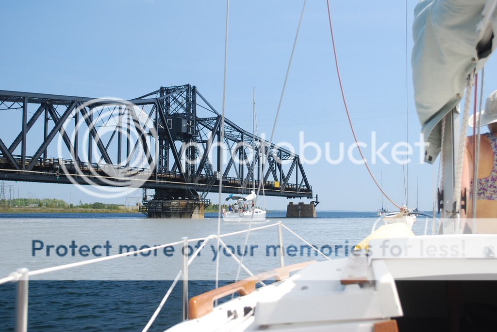
Launched in Little Current on Manitoulin Island. This single lane swing bridge is the only land connection for this large island. It opens for 15 minutes on the hour for boats.
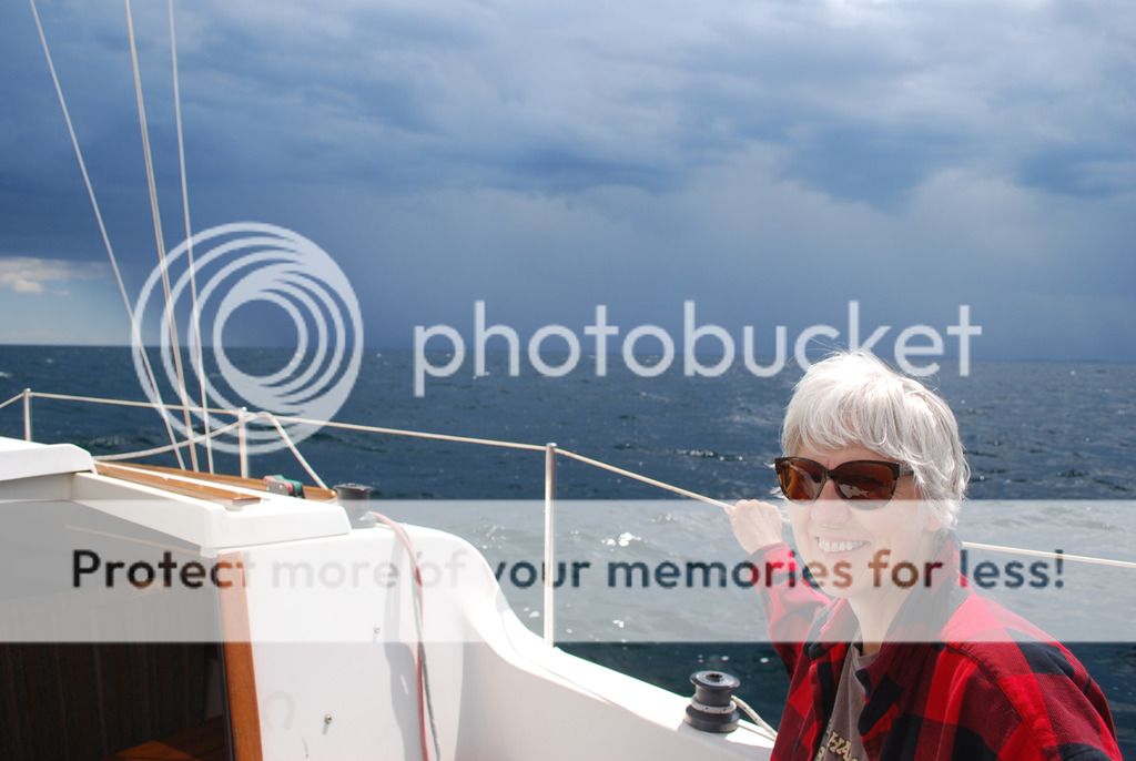
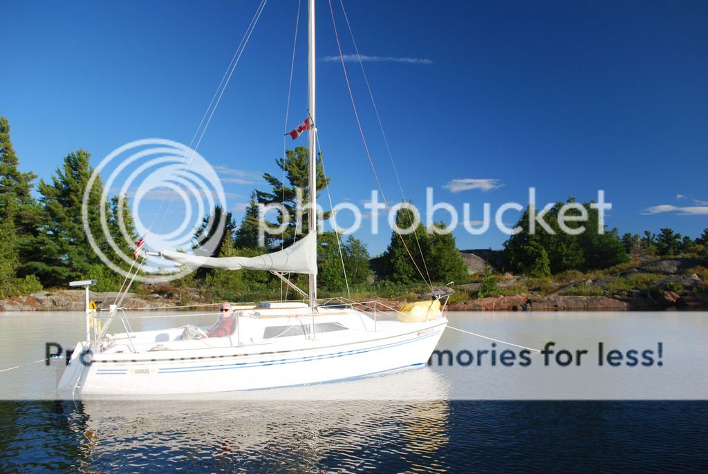
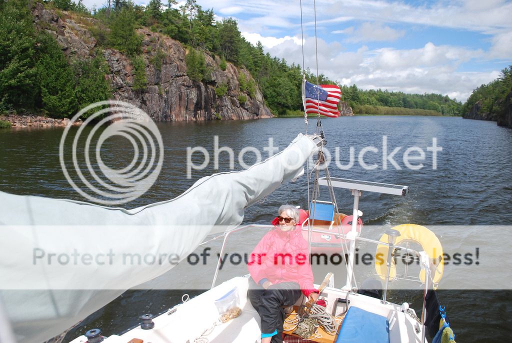
Met Dana and Nancy on a Siruis 21. We are in a small cove just east of Covered Portage which is a beautiful place but way overcrowded with boats.
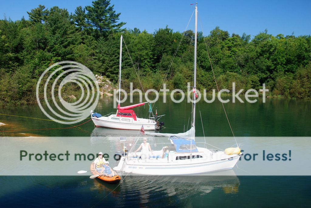
Also here were Chris and Sissi from Florida on a Compac25. While having tea and Jackie's homemade biscottis on their boat a massasauga rattlesnake swam by the stern.
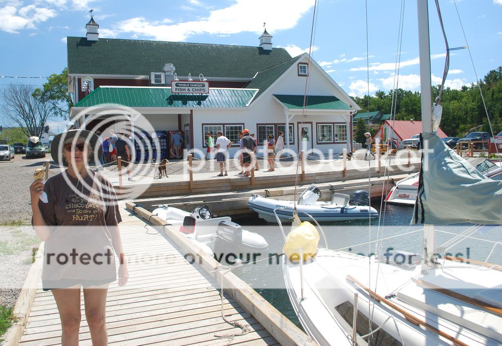
Stopped in Kilarney for ice cream and fish and chips at Herbert Fisheries. It has gone upscale since we were here last. I miss the funky old red school bus.
Scattered thunderstorms were forecast so we hauled ass out of Kilarney for the outside run to Beaverstone Bay. They seemed localized and we had a clear lane as the heaviest stayed several miles north of us and some localized squalls passed to the south.
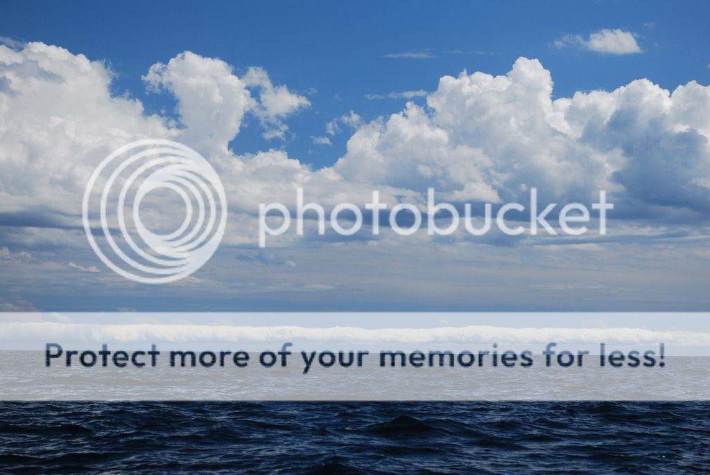
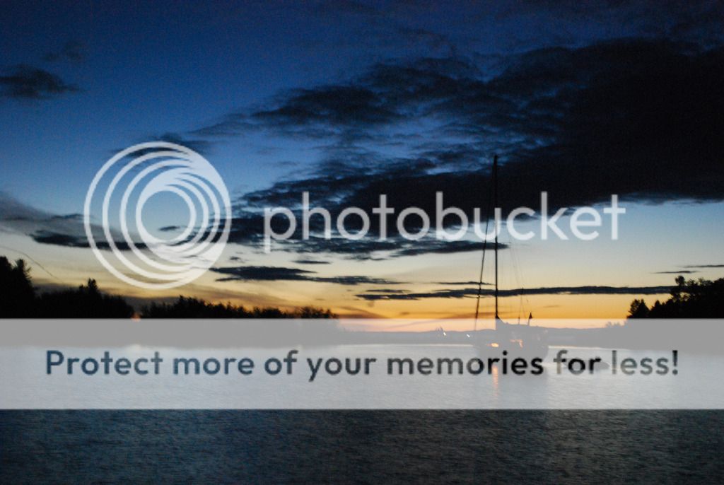
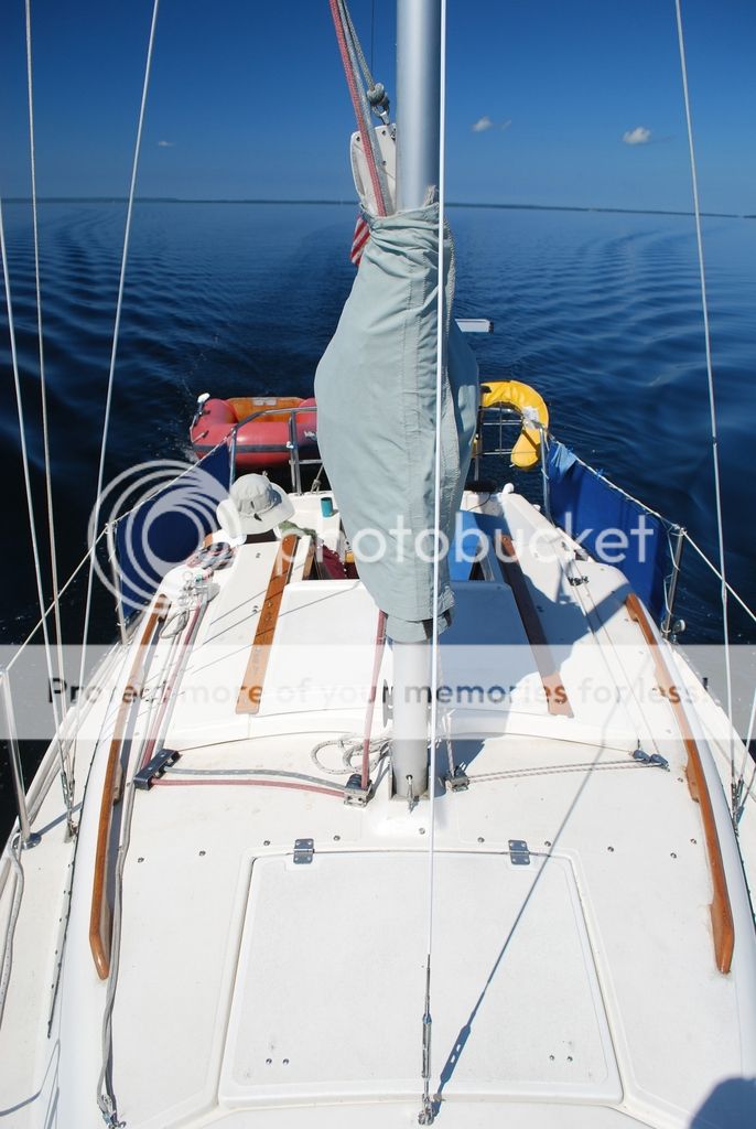
Some strange clouds.
Avoided any bad stuff and we had a nice downwind run the whole way. Green Island ahead...our halfway point.
Safely tucked into our hideout in Beaverstone as thunderstorms pass by to the north.
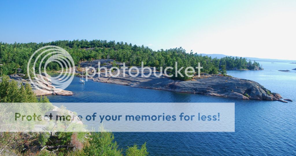
Not the easiest place to get into but I have been here a few times so I know where the nasty bits are.
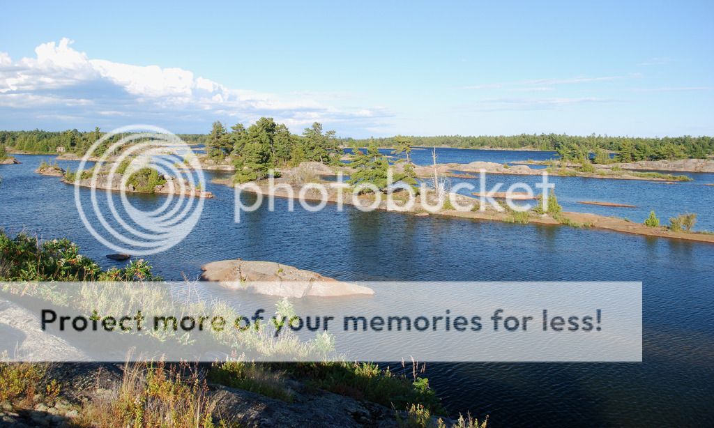
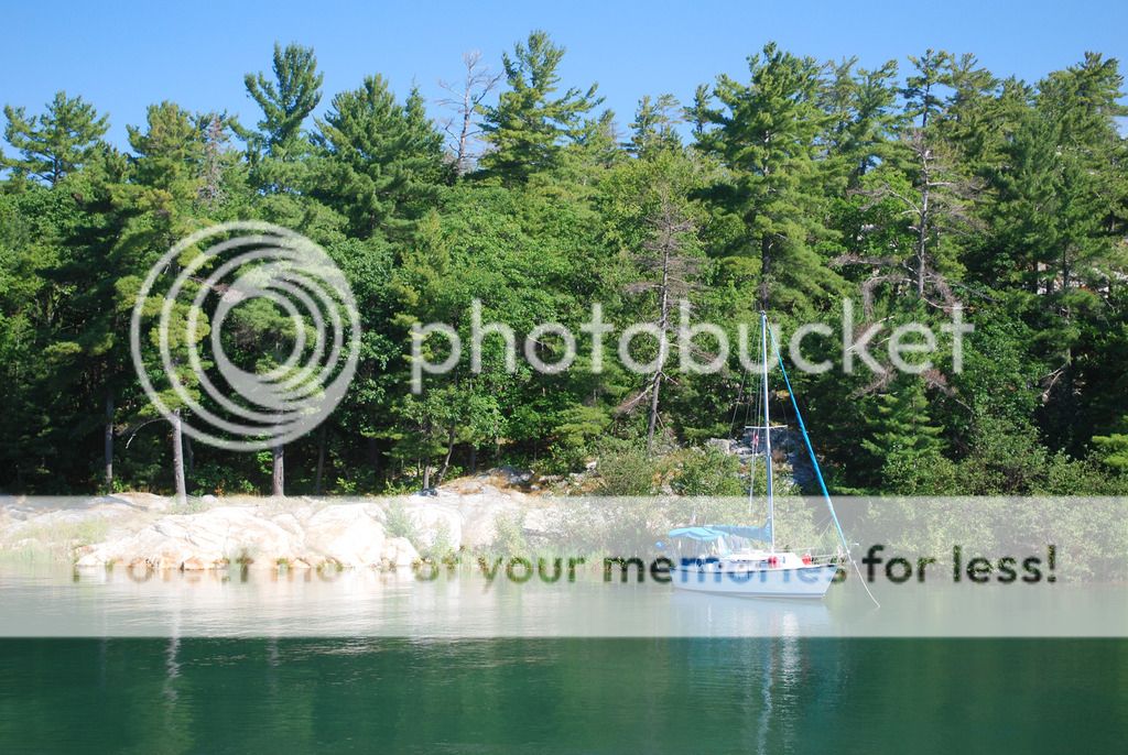
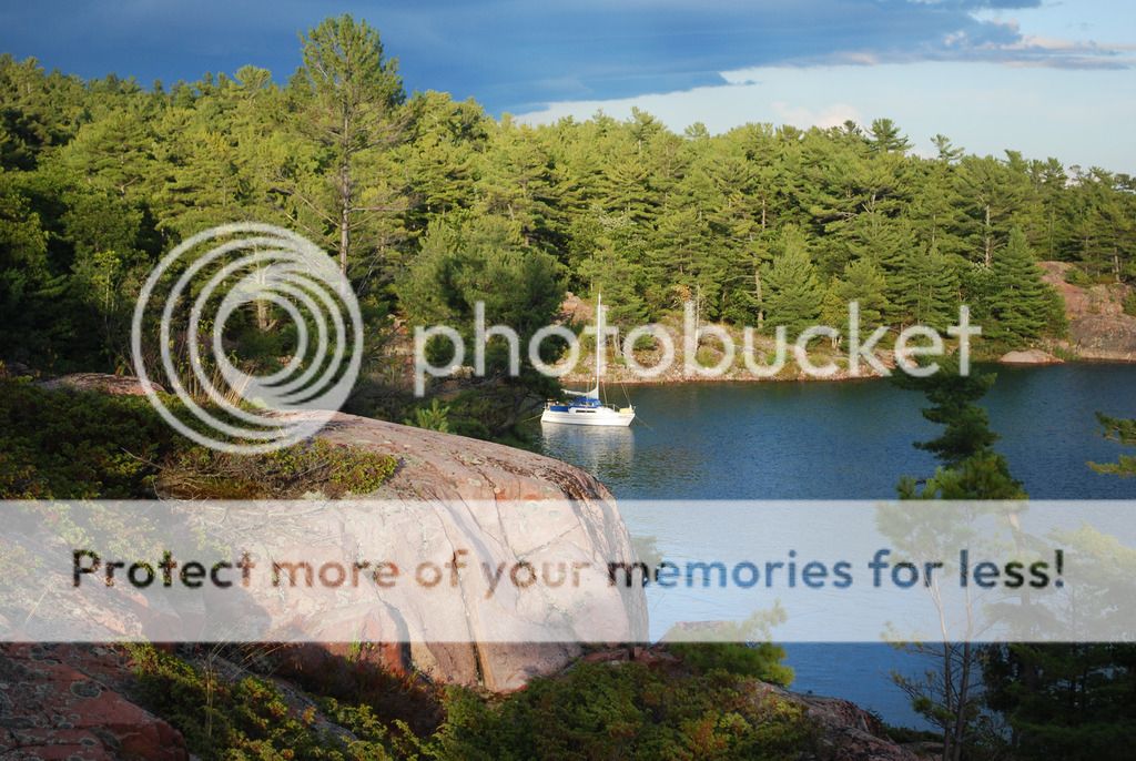
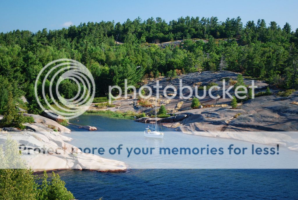
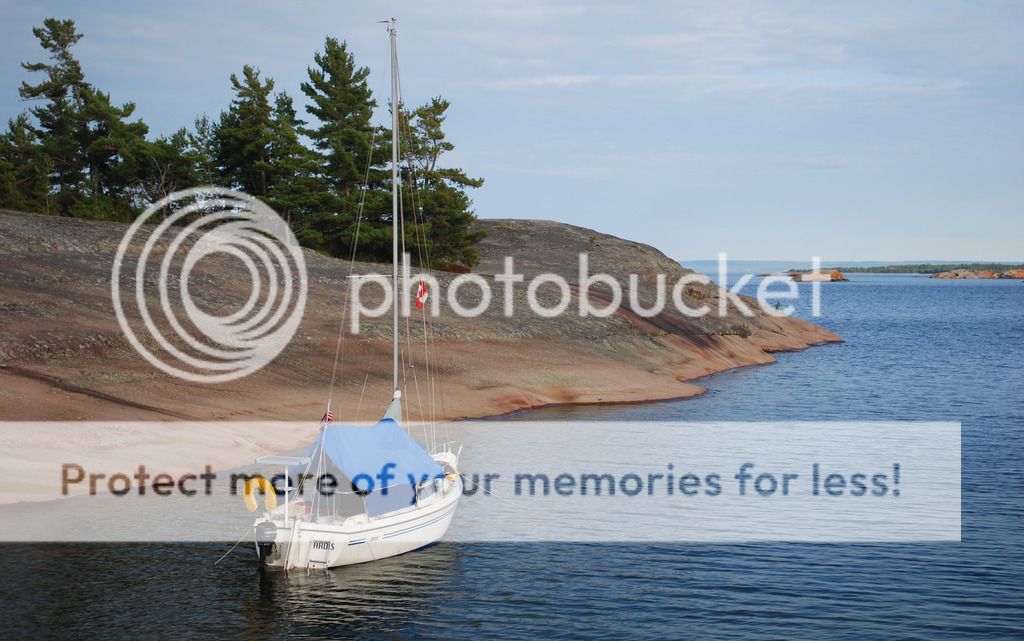
This is a favorite spot our ours and we spent 4 days here and never saw another boat.
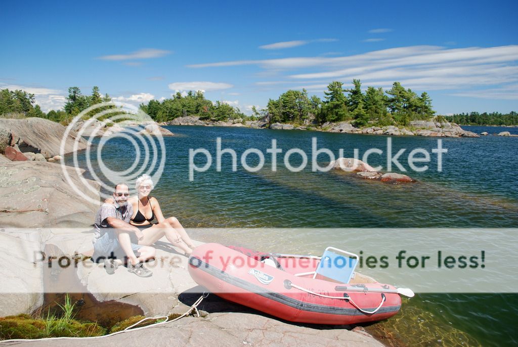
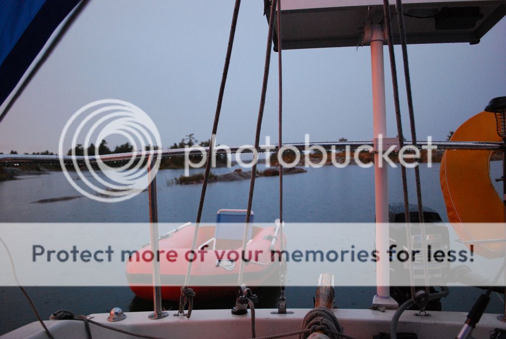
Exploring the area with the dinghy.
hanging out under the rain tarp... a day for napping and reading
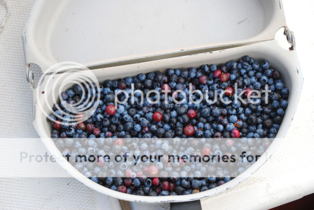
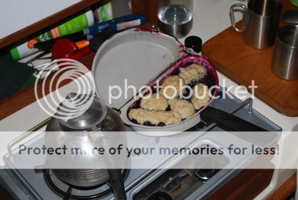
Berries were a bit sparse and small this year but we managed a blueberry cobbler every night. This one had gooseberries too.
We would make it about 10pm each evening and eat it warm out in the cockpit while we watched the stars.
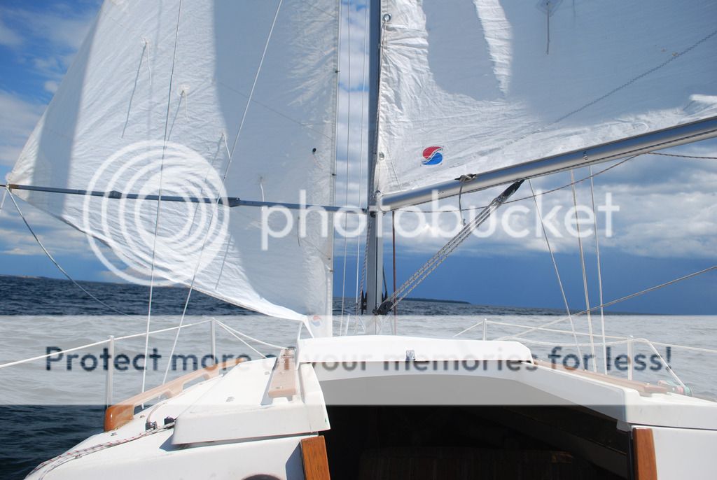
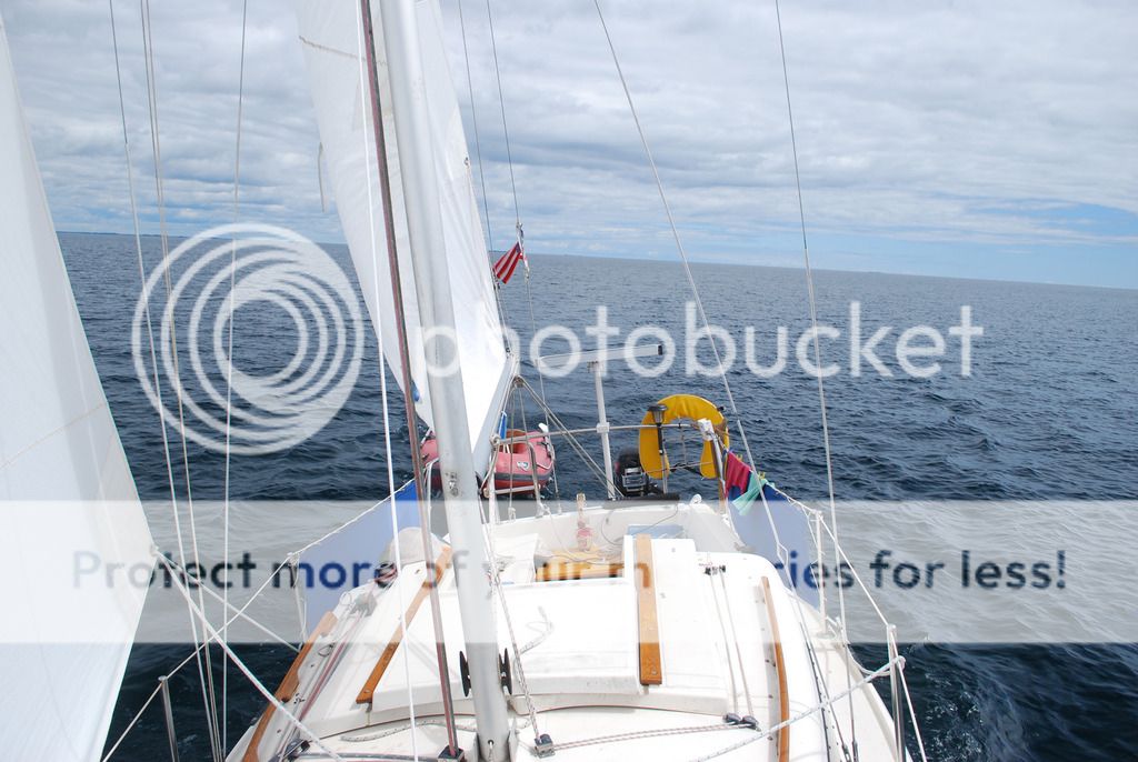
Had a short sail up Beaverstone Bay to the inside passage. Nice following breeze so we did not bother with the main.
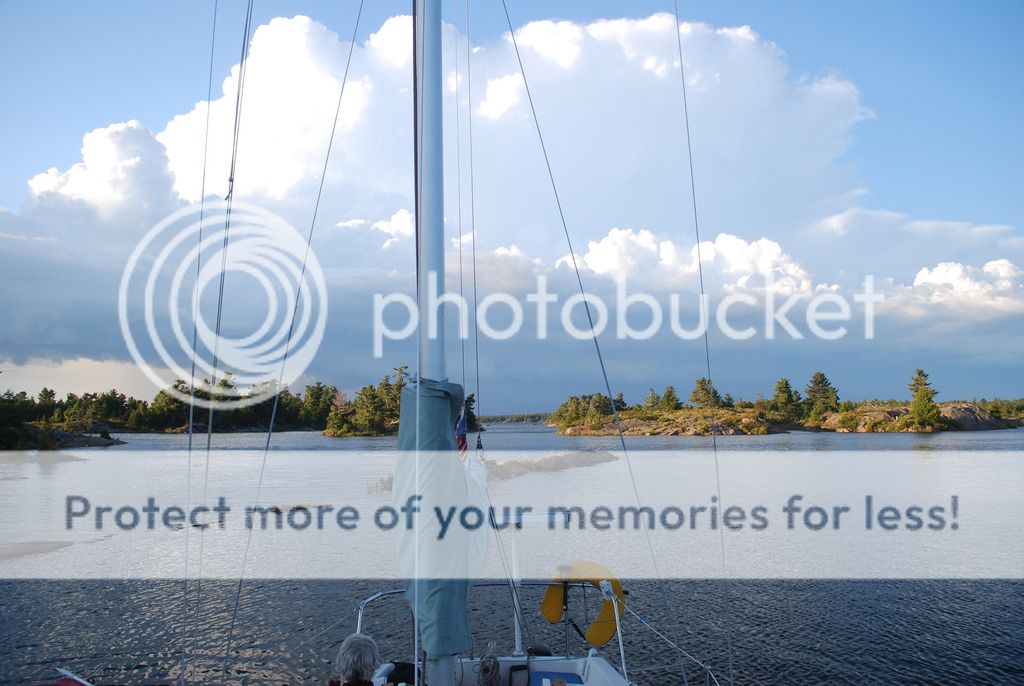
Collins Inlet is the inside passage back to Kilarney from Beaverstone. A pretty and narrow waterway that opens up into Mill Lake part way through.
Thomas Bay on the other end of Collins Inlet. Very nice place with nice rocks for climbing. About 10 boats were here...to many for our tastes but we managed to tuck into a corner away from the crowd.
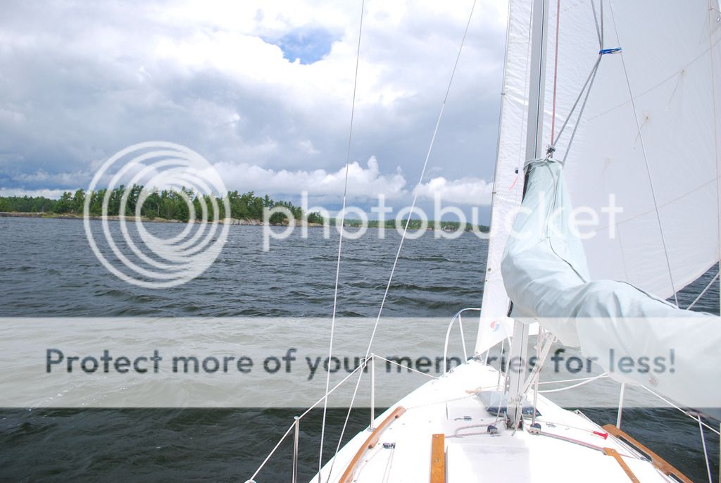
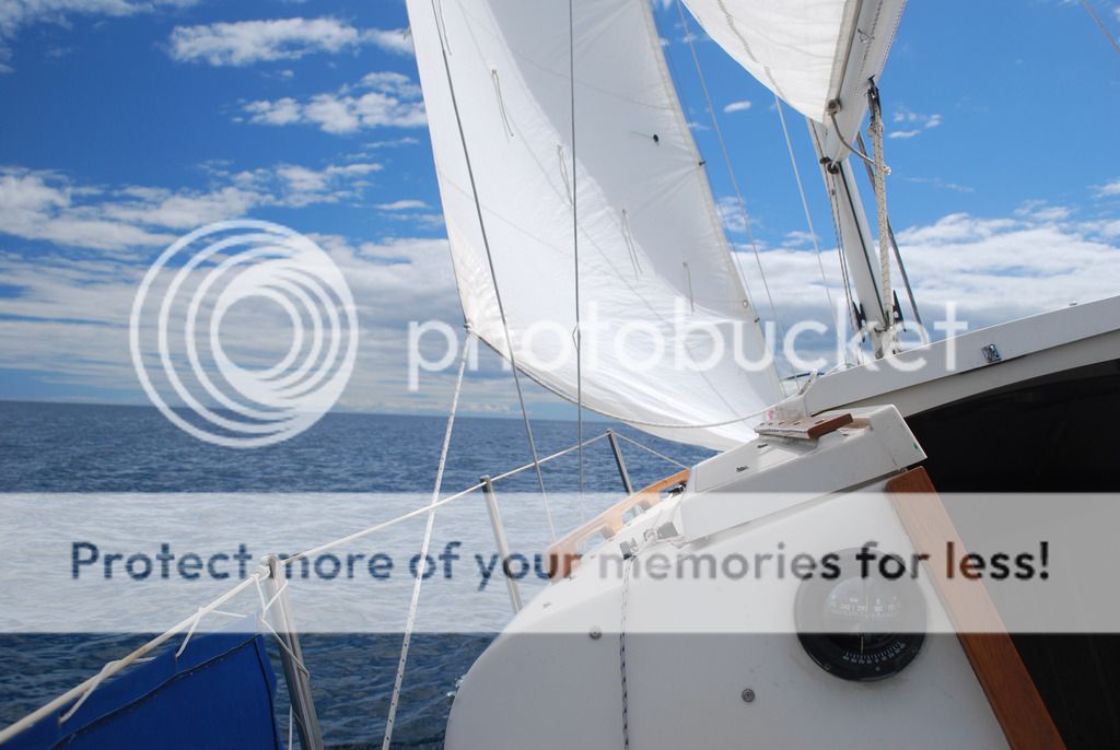
Upwind all day to Heywood Island.
We had the benefit or a protecting chain of islands so it was pretty smooth the whole way.
Sunset at Heywood.
From Heywood we passed through Little Current and went to South Benjamin.
Spent three days here.
This is another favorite spot and we always seem to get this cove to ourselves.
No wind for the run back to Little Current to haul out.
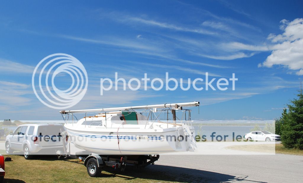
loaded up and ready for the 15 hour drive home to Minneapolis.
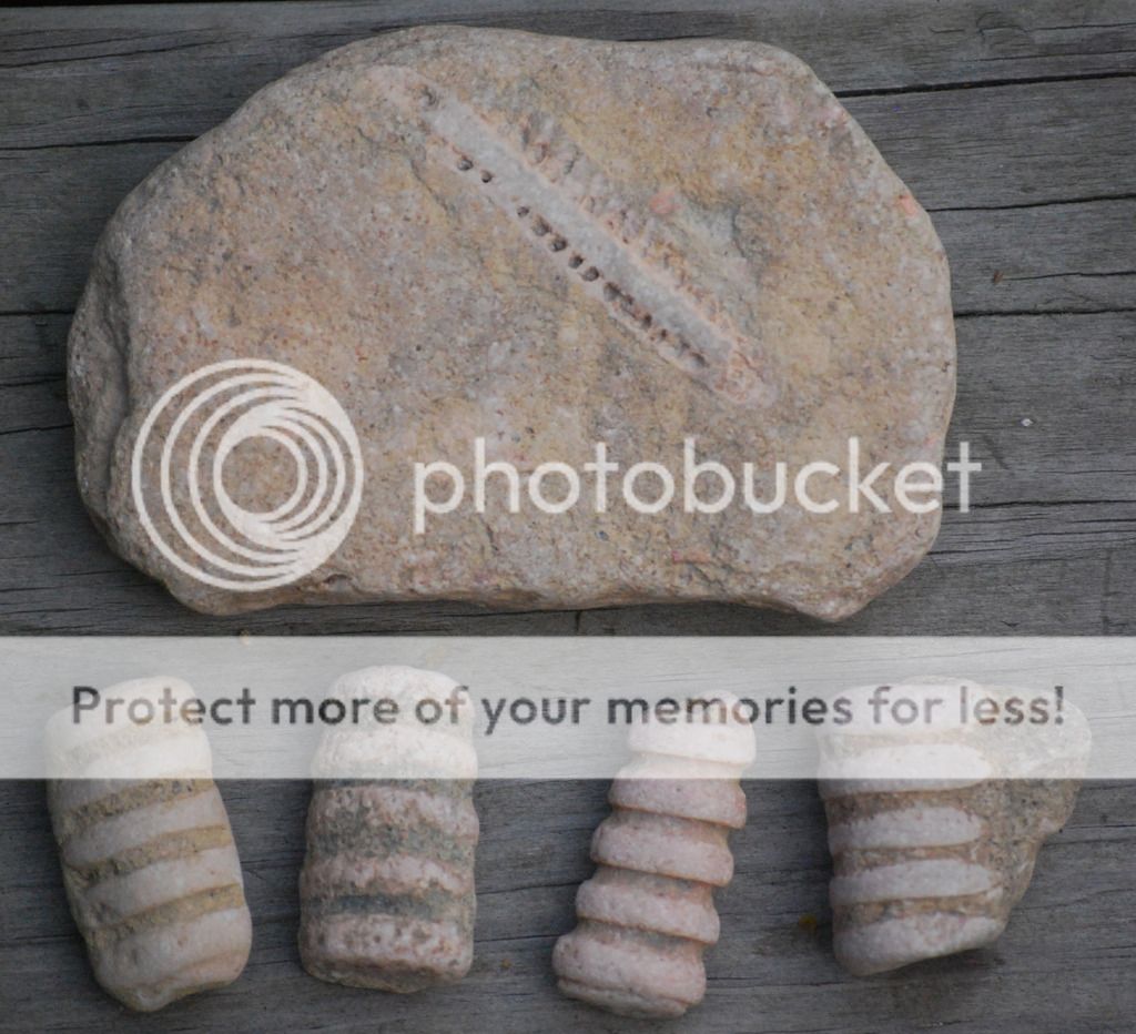
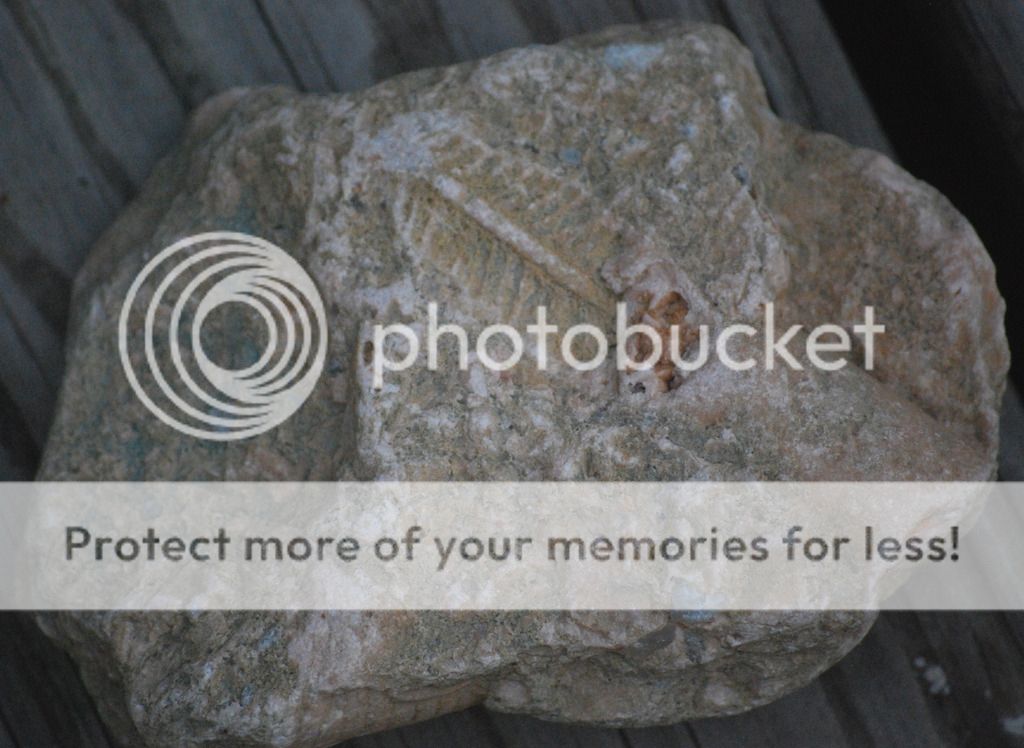
A few of the fossils we collected on this trip. This one is the size of a dinner plate.
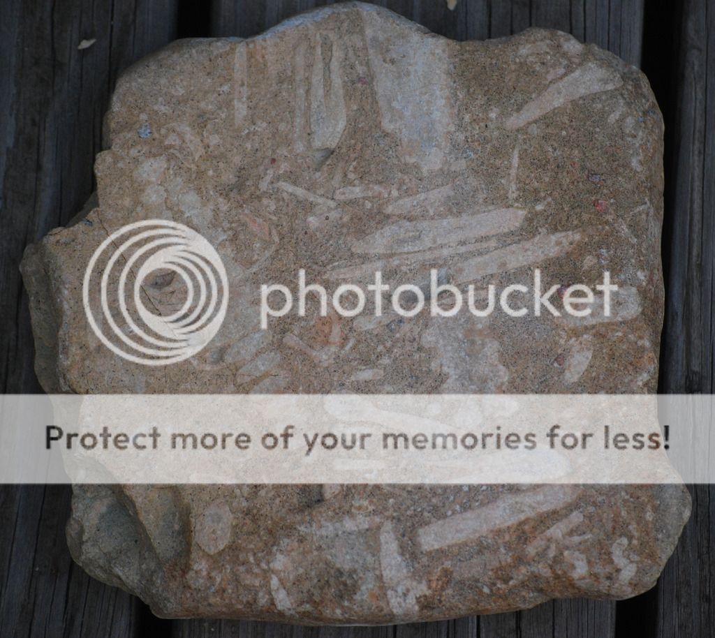
These all belong to the broad category of Cephalpods, squid like creatures that lived during the Triassic and Jurassic periods along with the dinosaurs.
Met Dana and Nancy on a Siruis 21. We are in a small cove just east of Covered Portage which is a beautiful place but way overcrowded with boats.
Also here were Chris and Sissi from Florida on a Compac25. While having tea and Jackie's homemade biscottis on their boat a massasauga rattlesnake swam by the stern.
Stopped in Kilarney for ice cream and fish and chips at Herbert Fisheries. It has gone upscale since we were here last. I miss the funky old red school bus.
Scattered thunderstorms were forecast so we hauled ass out of Kilarney for the outside run to Beaverstone Bay. They seemed localized and we had a clear lane as the heaviest stayed several miles north of us and some localized squalls passed to the south.
Some strange clouds.
Avoided any bad stuff and we had a nice downwind run the whole way. Green Island ahead...our halfway point.
Safely tucked into our hideout in Beaverstone as thunderstorms pass by to the north.
Not the easiest place to get into but I have been here a few times so I know where the nasty bits are.
This is a favorite spot our ours and we spent 4 days here and never saw another boat.
Exploring the area with the dinghy.
hanging out under the rain tarp... a day for napping and reading
Berries were a bit sparse and small this year but we managed a blueberry cobbler every night. This one had gooseberries too.
We would make it about 10pm each evening and eat it warm out in the cockpit while we watched the stars.
Had a short sail up Beaverstone Bay to the inside passage. Nice following breeze so we did not bother with the main.
Collins Inlet is the inside passage back to Kilarney from Beaverstone. A pretty and narrow waterway that opens up into Mill Lake part way through.
Thomas Bay on the other end of Collins Inlet. Very nice place with nice rocks for climbing. About 10 boats were here...to many for our tastes but we managed to tuck into a corner away from the crowd.
Upwind all day to Heywood Island.
We had the benefit or a protecting chain of islands so it was pretty smooth the whole way.
Sunset at Heywood.
From Heywood we passed through Little Current and went to South Benjamin.
Spent three days here.
This is another favorite spot and we always seem to get this cove to ourselves.
No wind for the run back to Little Current to haul out.
loaded up and ready for the 15 hour drive home to Minneapolis.
A few of the fossils we collected on this trip. This one is the size of a dinner plate.
These all belong to the broad category of Cephalpods, squid like creatures that lived during the Triassic and Jurassic periods along with the dinosaurs.
Last edited:


