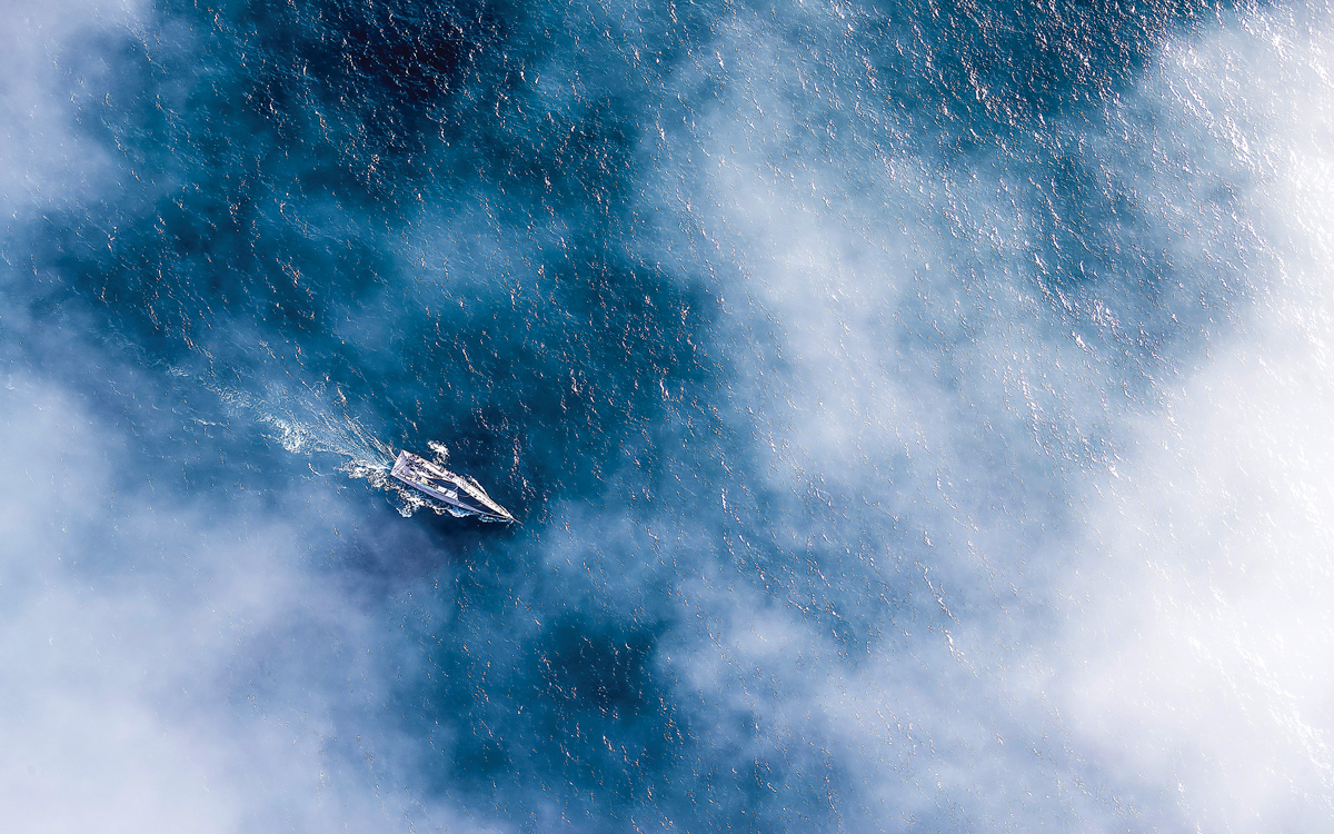
I frequently sail singlehanded on the Lower St-Lawrence river. An area prone to dense fog because of the very low water temperature. Not unusual to be wearing several layers of clothing while at sea and seeing people wearing short and T-shirts when getting to a harbor. Like most, I do not take off when foggy. I had radar for about 10 years, but when it quitted, I did not replace it, relying on AIS, which is connected to my chartplotter. August 17, 2019 I had left Ste-Anne-des-Monts at 05:45 under a beautiful sunrise, headed for Matane, a distance of about 55 nautical miles. No wind so I am motoring, and averaging well close to 8 knots with the tide pushing me up river. Because of tide swing, I know I'm looking at 10 to 12 hours before reaching destination..
About 11:00 sun disappears and fog moves in. I am about 4 & 1/2 nm from shore, in flat calm water, and I have just a few hundred feet of visibility but I keep my course and speed since I had not seen any traffic all morning. I do change the scale on the chartplotter so I can spot any ship way ahead of time.
At precisely noon, AIS shows a ship on the charplotter screen. Quick highlight indentifies it as the CTMA Voyageur, a cruise ship that plies the St.Lawrence headed for the Magdalen Islands. Lo and behold she's on the exact opposite course of Sacripant and coming at me at 18 knots !!! At that point, my GPS speed is 6,6 kn !
First pic shows the ship (taken from the internet) and what I see. I estimate she's at 7 miles. Since I had the ship's name, I raised her up on the VHF. The pilot was extremely courteous, thanking me for the call, saying he had us on his radar, adding that we would probably be meeting a little too close for my comfort. To my dismay he did not ask me to get out of the way, but rather suggested that we both change our course 10 degrees to starboard, thus meeting port to port about 1/4 of a mile. I thanked him and took the immediate 10 degrees. Probably a little more to compensate for the tidal current pushing me towards her.
2nd pic show what I see minute by minute with distance given by AIS. Bottom right picture is on port, exactly 1/4 of a mile from her port side !
Pilot called me back and told me there was no other ship front or back of me within several miles, thanking me again and even going to the point of saying that it was nice to see pleasure craft who could operate under these conditions and have safety in mind. I thanked him again and told him that frankly I didn't care for those conditions. He laughed and said he did not either. Wished me a Bon Voyage and I soon lost her in the fog behind me.
Sorry for the lenghty story, but that meeting was really the highlight of my day and brings a smile to my face evrytime I think about it

 www.yachtingworld.com

