bridge clearance question
- Thread starter sunlover
- Start date
jssailem
SBO Weather and Forecasting Forum Jim & John
- Oct 22, 2014
- 23,839
The answer to your query is understanding what is meant by "Air Draft". Much care is needed. Low tides scheduled my not be low enough. Your 4" figure. Is that mast or mast and all antenna's or other accruements that you have on your mast head?
How High Is Too Low
Even if you think your boat's air draft can pass under a bridge, you still may need an opening. The theoretical vertical clearance of fixed bridges on the AICW is 65 feet (except for the 56-foot Julia Tuttle Bridge in Miami). But this is "sometimes." An unusually high tide, flooding from excessive rain, or storm tide can make it less. We've seen sailboats dismasted because they underestimated the clearance. Some sailboats will hang loaded dinghies or heavy jugs of water out to the side on a spinnaker pole and a halyard to cause a heel that will allow them through. (Not a good idea!) Most wisely go out to sea for that part of the passage or wait for sufficiently low water. Other waterways besides the AICW have different height restrictions. For example, 55 feet for the Florida Gulf Intracoastal Waterway and 49 feet for the Okeechobee Waterway.

Extra high tides may mean trouble for tall-masted vessels. (Photo: Mel Neale)
There are usually tide boards at each bridge that show the vertical clearance at the center of the span (or wherever it's the highest), but sometimes these are damaged. It's difficult to "eyeball" vertical clearance. Standing on your deck and looking up creates an optical illusion making the overhead span seem much closer. Sometimes bridge tenders will help, but often they aren't allowed to because of the liability. If you can't clear the span and you're too close to the steel girders, the current or wind may prevent you from stopping in time.
How High Is Too Low
Even if you think your boat's air draft can pass under a bridge, you still may need an opening. The theoretical vertical clearance of fixed bridges on the AICW is 65 feet (except for the 56-foot Julia Tuttle Bridge in Miami). But this is "sometimes." An unusually high tide, flooding from excessive rain, or storm tide can make it less. We've seen sailboats dismasted because they underestimated the clearance. Some sailboats will hang loaded dinghies or heavy jugs of water out to the side on a spinnaker pole and a halyard to cause a heel that will allow them through. (Not a good idea!) Most wisely go out to sea for that part of the passage or wait for sufficiently low water. Other waterways besides the AICW have different height restrictions. For example, 55 feet for the Florida Gulf Intracoastal Waterway and 49 feet for the Okeechobee Waterway.
Extra high tides may mean trouble for tall-masted vessels. (Photo: Mel Neale)
There are usually tide boards at each bridge that show the vertical clearance at the center of the span (or wherever it's the highest), but sometimes these are damaged. It's difficult to "eyeball" vertical clearance. Standing on your deck and looking up creates an optical illusion making the overhead span seem much closer. Sometimes bridge tenders will help, but often they aren't allowed to because of the liability. If you can't clear the span and you're too close to the steel girders, the current or wind may prevent you from stopping in time.

Bridge clearances are reported at mean high tide.
If you are passing during a King tide, the clearance will be less. Time your passage to be at lower than high tide and watch the height boards.
If you are passing during a King tide, the clearance will be less. Time your passage to be at lower than high tide and watch the height boards.

Marler or Brooks Bridge?
The tides around here are much more dependent upon the wind than the moon cycles. This time of year, the water height is generally more than a foot lower than during the summer.
So, this week or even this month I'd say no sweat. In July it'll be tougher to do.
There are four bridges that pose height problems in our area, starting in the east the Dupont bridge just east of Panama City is 50'. Then traveling west on the ICW to go to Destin Harbor the Marler Bridge is 49'. Just past Destin staying on the ICW is the 50' (soon to be 65') Brooks Bridge. Furthest West is the Navarre Bridge charted at 50' but local wisdom is that it is slightly higher than the Brooks Bridge.
One must also be wary of wave heights and wakes from other boats. In a narrow river don't assume the danger is past when the primary wake passes. Reflected waves can also be a factor, particularly when the shores are steep or walled.
]The bridge height, if official markers, are your first indication but even then you have to take it with a grain of salt.
To plan a passage, you need to know your accurate "air draft" including things at the top of the mast (which can be impacted by your load), the datum that the bridge height is measured against, the predicted tide at the time of passage, any impacts from wind driven water and the impact of wakes/waves if they are present. From that you can apply whatever "pucker factor" you are willing to accept.
The charted height of the bridge is generally a distance above "mean high water" (MHW). However, the actual high tide for the day, even when it is not a "king tide," may be well above or below the MHW. The link below provides datums in the United States by state.
It occurred to me I did not actually answer your question.so, a bridge near Destin FL has a clearance 4 inches less than my sailboat. Is that at high tide or low tide? tide here is 2.75 feet so can I squeak under at low tide?
The answer would be yes, you probably could squeak through, maybe. The horizontal datum for bridge height is calculated using High Higher Tides. It is an average of the higher tides. Here where the bridge you mentioned we have diurnal tides meaning only one tide cycle per day, our tidal range is small, the tide height is more influenced by the wind than the moon, as such the tide tables are of lesser use to determine bridge clearance.
I'd be happy to offer local knowledge to any other questions you may have if you are planning to cruise through the area.
The vertical datum, not horizontal datum, is used for bridge clearance, and according to NOAA "Nautical charts will have depths referred to different tidal surfaces, which may vary from chart to chart. In the United States, Mean Lower Low Water (MLLW) is the typical low water reference surface. Note: to support harbor and river navigation, bridge clearances are typically referenced to mean high water (MHW)"- (see reference page from NOAA at the end of this post)
That being said, @Rick with local knowlede is probably your best bet for understanding whether you can pass through.
I had a similar problem with knowing when I could get through the McTeer bridge on the ICW here in Beaufort, which I have to go through to get to open ocean sailing from where I keep my boat. The actual clearance is often well below 65 feet at various tide levels even though it is listed on the chart as 65 ft clearance. After they built a new span the never replaced the height boards. I decided to determine the clearance myself. After getting local knowledge, albeit somewhat conservative, I picked a time when I knew I had enough clearance and started going through back and forth until my vhf antenna "tinged" and took pictures of where that came to on the "bunk boards" for the bridge center span. My trial and error may not be of any help for you since I KNEW I could get through at some point since we have a average tidal range of about 8 ft here in beaufort.
See first section "What Datum do I want"
@smokey73 your photos would be helpful to people. Please feel free to post them on the “Bridges of the ICW” Facebook group Bridges of the ICW | Facebook
@Captain Larry-DH when I get home I'll see if I can dig them up. A few boats have been dismasted or damaged the stuff on the top of their mast when they just go through not understanding how air clearance is determined and indicated on the charts. With our 8 or so average tide range plus many 9 foot tides and the ocassional 10 foot tide swing the McTeer bridge if frequently less than the charted 65 foot clearance. Unlike some on the Florida coast though and the Bellhaven bridge in North Carolina on the ICW we do have a wide tidal range so if you are patient you can get through safely.
Last edited:
jssailem
SBO Weather and Forecasting Forum Jim & John
- Oct 22, 2014
- 23,839
Only way to safely navigate would be at a minus tide. It would be .76 ft difference from MWH tide. At 8:23AM If Air-draft is less than 49 feet.
Today's tide times for East Pass (Destin), Choctawhatchee Bay:
Sunday 05 February 2023
Today's tide times for East Pass (Destin), Choctawhatchee Bay:
Sunday 05 February 2023
| Tide
| Time (CST)& Date | Height |
|---|---|---|
| Low Tide | 8:23 AM(Sun 05 February) | -0.22 ft(-0.07 m) |
| High Tide | 9:57 PM(Sun 05 February) | 0.54 ft(0.16 m) |
OUCH! That is some narrow clearance. Hopefully some local knowledge is available. It is only a guess, no liability assumed here, but I recall that the charted height is the minimum height anywhere along the navigable span so if there is some arc to the span you may have a few inches more clearance but I wouldn't bet my mast on that unless I had real knowledge of the bridge design and the point of highest clearance. Hopefully you'll be able to get some info to help you. Thank goodness for the wide tide range we have hear in Beaufort or I'd be having my mast shortened a few feet. Now I just have to time things right and be patient.
CAVEAT: I ASSUME NO LIABILITY FOR YOUR USE OF THIS INFO!
References follow this discussion:
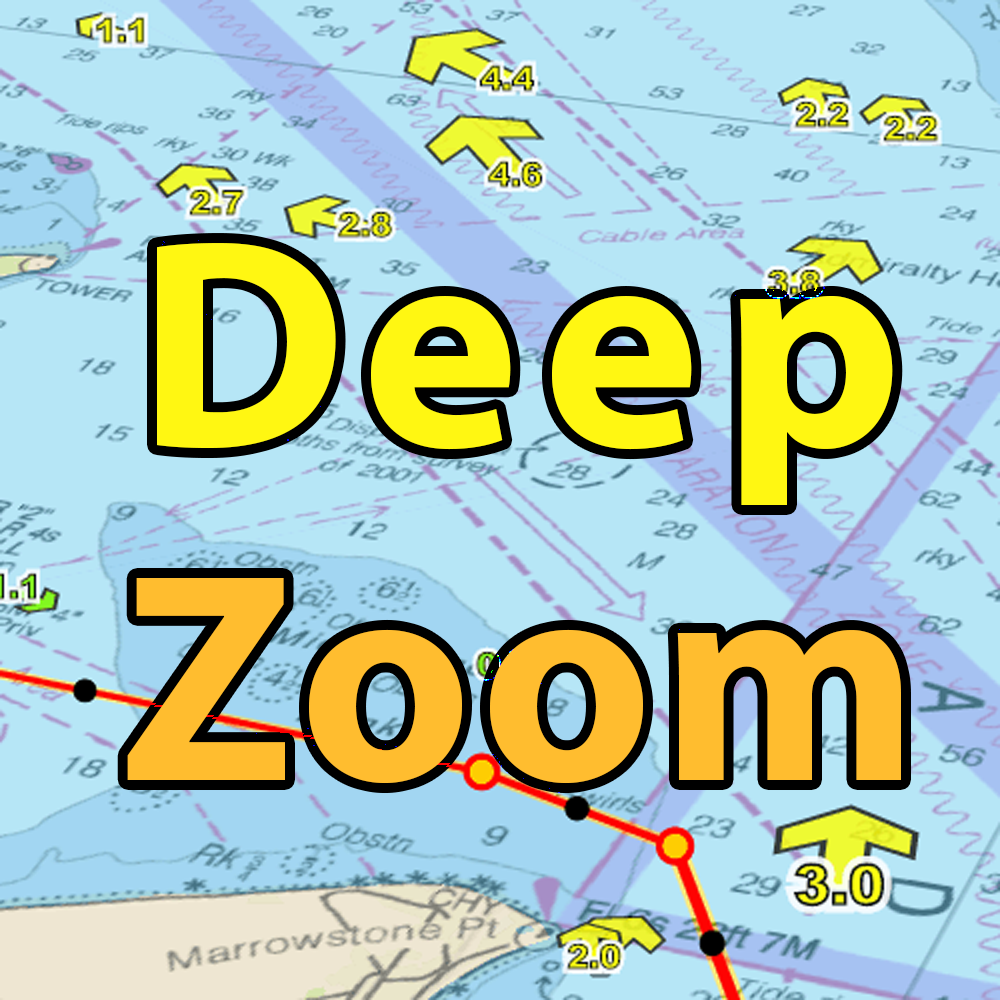
The MHW at East Pass (see reference) is .6 feet which means that the charted bridge clearance of 49 feet is when the tide station right there (see reference, I use deep zoom tides) is at .6 feet. At today's low tide at the the East Pass tide station which is -.2 feet, the bridge clearance would be (.6 +.2 = .8 ft) 49.8 feet. (By the way, .6 feet is Mean High Water (MHW) for this tide station, which is right at the bridge.
If @BigEasy is correct that your mast head (not your appurtenances) is 49.33 feet AT DEAD LOW TIDE ON FEB 6,2023, YOU WOULD HAVE 5.6 INCHES of clearance from your mast head to the bridge. THIS DOES NOT INCLUDE ANYTHING AT THE TOP OF YOUR MAST. I would hazard to guess that your windex and wind speed indicator sticks up at least 6 inches above the mast head! This also does not include any wind driven tides, wakes, accounting for your boat load, etc. MY CONCLUSION IS YOU CANNOT MAKE IT SAFELY UNDER THIS BRIDGE. I WOULD NOT CHANCE IT.
If you intend to routinely sail under this bridge and you want to keep this boat I'd consider having the mast shortened and the sails recut. It can be done but it isn't cheap and may impact the perceived value of the boat when you go to sell it. I had a friend do that on his Moody 45 because he couldn't stand the pucker factor of going under the 65 foot bridges on the ICW. Just my 2 cents and your mileage may vary.
References follow this discussion:
The MHW at East Pass (see reference) is .6 feet which means that the charted bridge clearance of 49 feet is when the tide station right there (see reference, I use deep zoom tides) is at .6 feet. At today's low tide at the the East Pass tide station which is -.2 feet, the bridge clearance would be (.6 +.2 = .8 ft) 49.8 feet. (By the way, .6 feet is Mean High Water (MHW) for this tide station, which is right at the bridge.
If @BigEasy is correct that your mast head (not your appurtenances) is 49.33 feet AT DEAD LOW TIDE ON FEB 6,2023, YOU WOULD HAVE 5.6 INCHES of clearance from your mast head to the bridge. THIS DOES NOT INCLUDE ANYTHING AT THE TOP OF YOUR MAST. I would hazard to guess that your windex and wind speed indicator sticks up at least 6 inches above the mast head! This also does not include any wind driven tides, wakes, accounting for your boat load, etc. MY CONCLUSION IS YOU CANNOT MAKE IT SAFELY UNDER THIS BRIDGE. I WOULD NOT CHANCE IT.
If you intend to routinely sail under this bridge and you want to keep this boat I'd consider having the mast shortened and the sails recut. It can be done but it isn't cheap and may impact the perceived value of the boat when you go to sell it. I had a friend do that on his Moody 45 because he couldn't stand the pucker factor of going under the 65 foot bridges on the ICW. Just my 2 cents and your mileage may vary.
Datums - NOAA Tides & Currents
provides elevations on station datum in table and chart
tidesandcurrents.noaa.gov

I actually have a "salvage bag" which is designed to be filled with air to lift load off the bottom. It is pretty big but I'm not sure what the weight of the water it holds is but I could only get a few degrees of heel on my 20,000 lb displacement (7000 lb wing keel) Hunter 40.5. I can fill it with water and suspend it from the main halyard held out by the boom over to one side but it was not very effective. My suggestion to shorten the mast is based on the PIA it is to rig this for heeling the boat (I'm not nearly as skilled as the captain in the video) and if the PO plans to "routinely" transit this bridge I don't see it as a viable solution.
We sail our Hunter 340 in the Barnegat Bay region of New Jersey (NOAA Chart 12324). There are two fixed span bridges that limit travel at each end of the bay and Intracoastal Waterway. To the south, there is a fixed span bridge at Manahawkin Bay, carrying Route 72 East from the Jersey mainland to the barrier island. The bridge is charted at 60 feet of vertical clearance at mean high water. My mast stands 56 feet off the water and normally I would not worry about passing under this bridge on a low or falling tide. The tide boards at the bridge, however, indicate that the vertical clearance ranges between 56 - 58 feet depending upon the state of the tide. On our first trip under and with a clearance of 57 feet showing on the tide boards we stood off and debated for some time before venturing slowly and carefully through. Perhaps I should have turned back but we made it through with the VHF antenna intact but don't really know what the true clearance is at that location. I wrote to NOAA and received a polite reply that they will post a notice.
At the northern end of Barnegat Bay is a double bridge near the mouth of Toms River, carrying Route 35 East to the barrier island. The East bound lanes of Route 35 are carried by an older Bascule bridge with a closed vertical clearance of 30 feet. The West bound lanes of Route 35 are carried by a fixed bridge with a charted vertical clearance of 60 feet. When you approach this bridge on the water from the south the tide boards only indicate the clearance under the Bascule bridge. A call on VHF channel 9 to the polite bridge tender will get the Bascule bridge to open but he will not tell you the minimum clearance of the fixed bridge. Local knowledge has it that the fixed bridge was built with 62 feet of vertical clearance but has settled two feet or more over the years. What to do? Based upon my experience with the Manhawkin Bay bridge, I suspect that even if I could see them for the fixed bridge the tide boards will be of little or no help. It is a long way around these bridges, out into the ocean and through two problematic inlets.
At the northern end of Barnegat Bay is a double bridge near the mouth of Toms River, carrying Route 35 East to the barrier island. The East bound lanes of Route 35 are carried by an older Bascule bridge with a closed vertical clearance of 30 feet. The West bound lanes of Route 35 are carried by a fixed bridge with a charted vertical clearance of 60 feet. When you approach this bridge on the water from the south the tide boards only indicate the clearance under the Bascule bridge. A call on VHF channel 9 to the polite bridge tender will get the Bascule bridge to open but he will not tell you the minimum clearance of the fixed bridge. Local knowledge has it that the fixed bridge was built with 62 feet of vertical clearance but has settled two feet or more over the years. What to do? Based upon my experience with the Manhawkin Bay bridge, I suspect that even if I could see them for the fixed bridge the tide boards will be of little or no help. It is a long way around these bridges, out into the ocean and through two problematic inlets.