I was playing around with Google Earth today and found a feature that I did not know existed. I know that one can view in 3D, and one can do a tilt, but I did not know that one could do both and essentially move to almost surface level. With that in mind, I can now approach a harbor in a 3D view and see what I might see if I was really there.
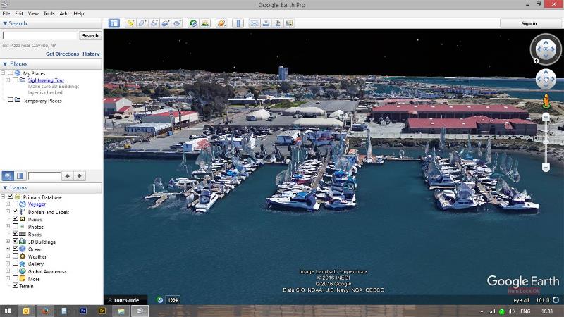
Here is a screen capture of my marina on Camp Pendleton. I am not sure if this would work everywhere, like Catalina, but it is still cool. Note, this is rather accurate however since it is an old image, some of the boats are no longer there.
Here is a screen capture of my marina on Camp Pendleton. I am not sure if this would work everywhere, like Catalina, but it is still cool. Note, this is rather accurate however since it is an old image, some of the boats are no longer there.